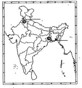
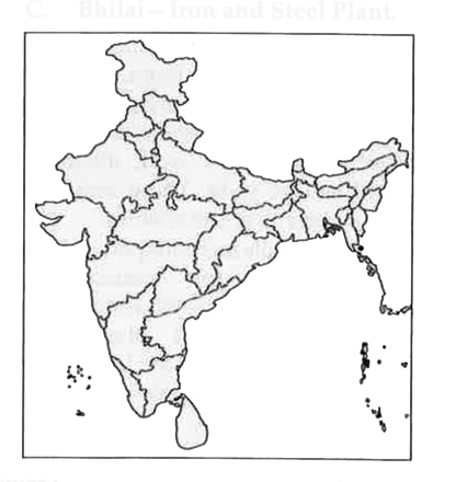
Locate and label the following with appropriate symbols on the sarne political outline map of India : i Sardar Sarovar Damii Singarauli - Thermal Power Plantiii Bhilai - Iron and Steel Plant
The correct answer is-
Related Solutions
Locate and label the following with appropriate symbols on the same given outline political map of India
(i) Kandla - Major Sea Port
(ii) Bhilai - Iron and Steel Plant
(iii) Kaiga - Nuclear Power Plant

View SolutionOn the given political outline map of India locate and label the following features with appropriate symbols :
A. Narora - Nuclear Power Plant .
(ii) Tuticorin - Major Sea Port.
(iii) C. Bhilai - Iron and Steel Plant.

View SolutionLocate and label any three of the following with appropriate symbols on the same given outline political map of India.
(i) Kalpakkam - Nuclear Power Plant
(ii) Vijayanagar - Iron and Steel Plant
(iii) Noida - Software Technology Park
(iv) Paradeep - Sea Port
(v) Sardar Sarovar - Dam
View SolutionOn the given political outline map of india locate and label the following with appropriate symbols : A. Oil field - digboi B. Iron and steel plant - bhilai C. Major sea prot - kochi
View SolutionOn the given Political outline map of India, locate and label the following with appropriate symbols. (i) Vijayanagara : The imperial capital of Krishnadeva Raya.
View SolutionLabel and locate the following on physical map of India. Iron and steel plants - Bhadravati, Bhilai, Bokaro, Durgapur Rourkela and Jamshedpur.
View SolutionLocate and label any three of the following with appropriate symbols on the game given outline political map of India.
View SolutionOn the same outline map of India locate and label any three of the following with suitable symbols. Namrup Thermal Plant
View SolutionOn the same outline map of India locate and label any three of the following with suitable symbols.
Naraura Nuclear Power Plant
View SolutionThe the given political outline map of india locate and label the following with appropiate symbols . A. Ankleshwar - Oil field B. Durgapur - Iron and steel plant . C. Tuticorin - Major seaport
View SolutionLocate and label the following on the political map of India with appropriate symbols.
(i) Tea producing states
(ii) Coffee producing states
View SolutionLocate and label the following on the political map of India with appropriate symbols.
(i) Rice producing states (ii) Wheat producing states
View SolutionLocate and label the following on the political map of India with appropriate symbols.
(i) Leading producer of groundnut
(ii) Leading producer of sugarcane
View SolutionOn the given political outline map of India locate and label the following with appropraite symbols. A. Salem-Iron and Steel Centre. B. Kandla -Major Sea Port. C. Hyderabad-Software Technology Park.
View SolutionLocate and label the following on the given political map of India with appropriate symbols.
The State having largest area.
View SolutionLocate and label the following on the given political map of India with appropriate symbols.
State having highest density of population.
View SolutionLocate and label the following on the political map of India with appropriate symbols :
Cities with more than 10 million population.
View SolutionLocate and label the following on the given political map of India with appropriate symbols. State with low percentage of urban population.
View SolutionLocate and label the following on the given political map of India with appropriate symbols. State with highest rural population.
View SolutionLocate and label the following on the given political map of India with appropriate symbols. State with high percentage of urban population.
View Solution