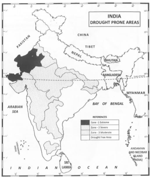
Locate and label drought prone areas on an outline map of india .
Topper's Solved these Questions
- NATURAL HAZARDS ANS DISASTERSBOOK - FULL MARKSCHAPTER - NATURAL HAZARDS ANS DISASTERSEXERCISE - ADDITIONAL QUESTIONS WITH ANSWERS ( VI. HOTS QUESTIONS )
3 Videos
- MOVEMENTS OF OCEAN WATERBOOK - FULL MARKSCHAPTER - MOVEMENTS OF OCEAN WATEREXERCISE - ADDITIONAL QUESTIONS SOLVED WITH ANSWERS (VII. MAP SKILL )
1 Videos
- NATURAL VEGETATIONBOOK - FULL MARKSCHAPTER - NATURAL VEGETATIONEXERCISE - TEST ASSIGNMENT ( III. Answer the following questions in 150 words.)
1 Videos
Similar Questions
Knowledge Check
The shaded area is the given outline map of India represents
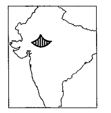 AChhotanagpur plateauBMahadeo HillsCMalwa PlateauDDeccan Trap
Locate and label the place on the given outline political map of India' :
(a) The place associated with the Jallianwala bagh incident
(b) The place, where the Civil Disobedience Movement was started.
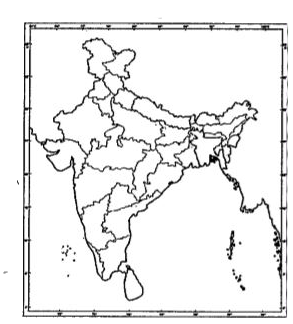
View Solution(A) Locate and label the place on the given outline political map of India:
(a) The place where the Jallianwala Bagh Massacre took place.
(b) The place where the Indian National Congress Session was held in 1927
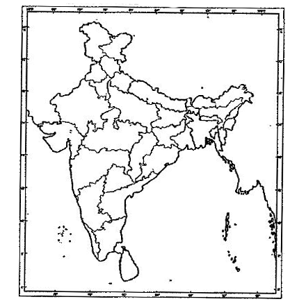
B. The following features are to be located and labelled on the given India political outline map :
(a) Kandla - Major Sea port
(b) Hirakud Dam
Identify the features marked on the same given India political map and write their names :
(c ) A type of Soil
(d) Iron Ore Mine
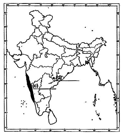
View SolutionLocate and label the place on the given outline political map of India :
(a) The place associated with the Peasants' Satyagarha.
(b) The place, where the Indian National Congress Session was held in December 1920.
View SolutionTwo features A and N are marked on the given political outline map of india identify these features with the help of the following information and write their correct names of the lines marked in the map:
B.Terminal station of East-west corridor
On the same political outline map of India,locate and label the following:
Vishakhapatnam-software Technology Park.
View SolutionLocate and label the following on the given political map of India with appropriate symbols.
The State having largest area.
View SolutionLocate the following States on a blank outline political map of India :
Manipur, Sikkim, Chhattisgarh and Goa.
View SolutionName flood prone areas of India.
View Solution
