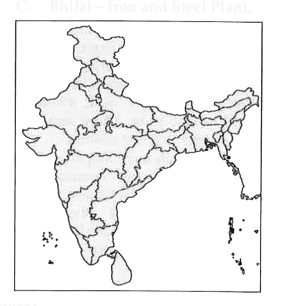
On the given political outline map of India, locate and label the following appropriately:
(a) Dandi-a centre of national movement.
OR
Masulipatnam-a city under British control in 1807.
(b) Panipat-a territory under Mughals.
OR
Delhi

Topper's Solved these Questions
- OUTSIDE DELHI 2019BOOK - XII BOARDS PREVIOUS YEARCHAPTER - OUTSIDE DELHI 2019EXERCISE - OUTSIDE DELHI 2019 - SET II
7 Videos
- OUTSIDE DELHI 2019BOOK - XII BOARDS PREVIOUS YEARCHAPTER - OUTSIDE DELHI 2019EXERCISE - OUTSIDE DELHI 2019 - SET III
2 Videos
- OUTSIDE DELHI 2017BOOK - XII BOARDS PREVIOUS YEARCHAPTER - OUTSIDE DELHI 2017EXERCISE - OUTSIDE DELHI 2017 - SET III
5 Videos
Similar Questions
On the given Political outline map of India, locate and label the following with appropriate symbols.
(i) Vijayanagara : The imperial capital of Krishnadeva Raya.
View SolutionOn the given political outline map of India mark and name the following: (a) Kuru (b) Rajgir (c) Magadha (d) Avanti (e) Ujjain
View SolutionOn the given political outline map of india locate and label the following with appropriate symbols :
A. Oil field - digboi
B. Iron and steel plant - bhilai
C. Major sea prot - kochi
View SolutionOn the given political outline map of India, mark and nar ne the following: (a) Golconda (b) Vijayanagar (c) Mysore (d) Quilon (e) Tirunelveli
View SolutionOn the given political outline map of India locate and label the following with appropraite symbols.
A. Salem-Iron and Steel Centre.
B. Kandla -Major Sea Port.
C. Hyderabad-Software Technology Park.
View SolutionThe the given political outline map of india locate and label the following with appropiate symbols .
A. Ankleshwar - Oil field
B. Durgapur - Iron and steel plant .
C. Tuticorin - Major seaport
View SolutionOn the given political outline map of India locate and label the following features with appropriate symbols :
A. Narora - Nuclear Power Plant .
(ii) Tuticorin - Major Sea Port.
(iii) C. Bhilai - Iron and Steel Plant.

View SolutionOn the given political outline map locate and label the important kingdoms
(a) Kushanas, (b) Shakas, (c) Satavahanas, (d) Vakatakas, (e) Gupta
View SolutionOn the given political outline map of India, locate and label the following Harappan sites.
(i) Harappa (ii) Lothal (iii) Mohenjodaro (iv) Nageshwar (v) Banawali (vi) Rakhigarhi (vii) Kalibangan (viii) Kot Diji
View SolutionLocate and label any three of the following with appropriate symbols on the game given outline political map of India.
View Solution

