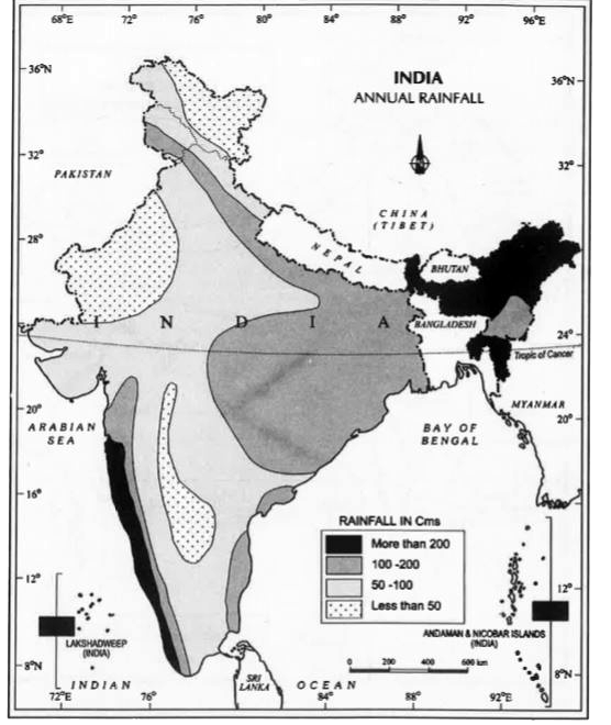
Study the map given below aand answer the questions that follow :
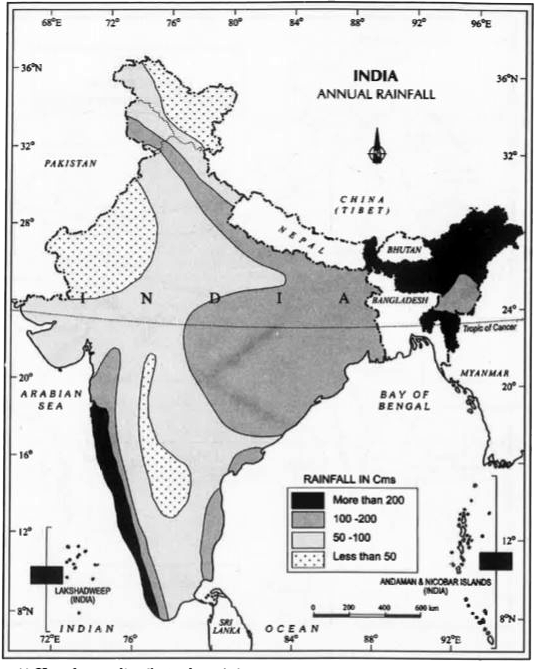
How do you distribute the rainfall in India ?
Text Solution
The average annual rainfall in India is about 125 cm, but it has great spatial variations,
Areas of High Rainfall : The highest rainfall occurs along the west coast, on the Western Ghats, as well in sub - Himalayan areas is the northeast and the hills of Maghalaya. Here the rainfall exceeds 200 cm. In some parts of Khasi and Jaintia hills, the rainfall exceeds 1,000 cm. In the Brahmaputra valley and the adjoining hills, the rainfall is less then 200 cm.
Areas of Medium Rainfall : Rainfall between 100 - 200 cm is received in the southern parts of Gujarat, east Tamil Nadu, northeastern Peninsula covering Odisha, Jharkhand, Bihar, eastern Madhya Pradesh, northern Ganga plain along the sub - Himalayas and the Cachar Valley and Manipur.
Areas of Low Rainfall : Western Uttar Pradesh, Delhi, Haryana, Punjab, Jammu and Kashmir, eastern Rajasthan, Gujarat and Deccan Plateau receive rainfall between 50-100 cm.
Areas of Inadequate Rainfall : Parts of the Peninsula, especially in Andhra Pradesh, Karnataka and Maharadhtra, Ladakh and most of western Rajasthan receive rainfall below 50 cm.
|
Topper's Solved these Questions
- CLIMATEBOOK - FULL MARKSCHAPTER - CLIMATEEXERCISE - ADDITIONAL QUESTION WITH ANSWERS (VI. HOTS Questions)
7 Videos
- BIODIVERSITY AND CONSERVATION BOOK - FULL MARKSCHAPTER - BIODIVERSITY AND CONSERVATION EXERCISE - ADDITIONAL QUESTION WITH ANSWERS ( V. MAP SKILL )
1 Videos
- COMPOSITION AND STRUCTURE OF ATMOSPHERE BOOK - FULL MARKSCHAPTER - COMPOSITION AND STRUCTURE OF ATMOSPHERE EXERCISE - TEST ASSIGNMENT (III. Answer the following questions in 160 words. )
1 Videos
Similar Questions
Knowledge Check
Study the picture given below and answer the question that follows :
This is a picture of :ASuper HighwayBState HighwayCExpresswayDNational Highway
Study the picture given below and answer the questions that follow:

Identify the organism
View SolutionStudy the figure given below and answer the question that follow :
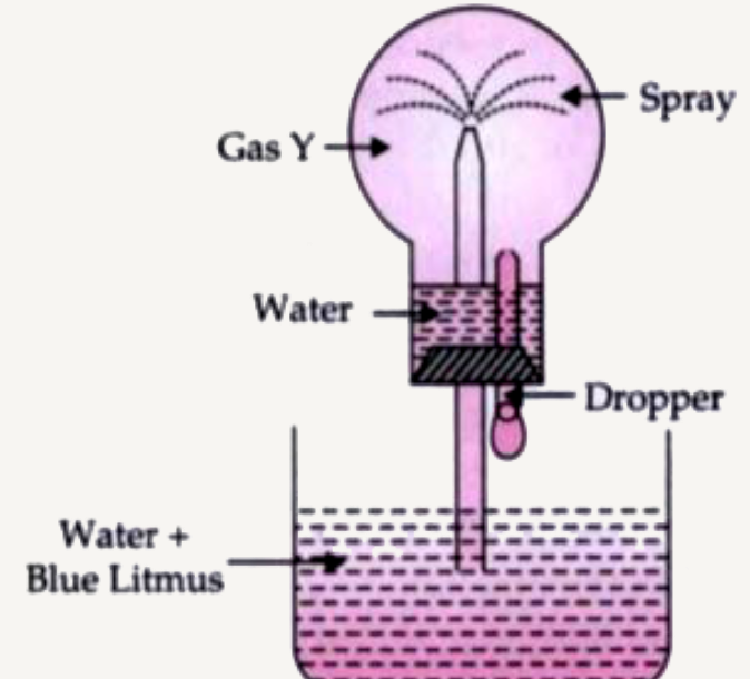
Identify the gas Y.
View SolutionStudy the diagram given below and answer the questions that follow :
How is this structure helpful in digesting fat ?
View SolutionStudy the diagram given below and answer the questions that follow :
What is emulsification?
View SolutionStudy the diagram given below and answer the questions that follow :
How this structure is helpful in digestion ?
View SolutionStudy the diagram given below and answer the following questions.
View SolutionStudy the picture given below and answer the questions that follow:

Name the phylum it belongs to.
View Solution

