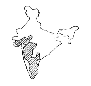
The shaded area is the given outline map of India represents
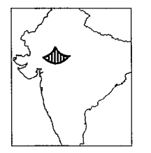
Chhotanagpur plateau
Mahadeo Hills
Malwa Plateau
Deccan Trap
The correct Answer is:C
Step by step video, text & image solution for The shaded area is the given outline map of India represents by Environmental Studies experts to help you in doubts & scoring excellent marks in Class 14 exams.
Topper's Solved these Questions
Similar Questions
Two places A and B have been marked on the given outline map of India. 2 Identify them and write their correct - names on the lines drawn near them.
Indian National Congress session at this place in 1927View SolutionTwo places A and B have been marked on the given outline map of India. 2 Identify them and write their correct - names on the lines drawn near them.
Mahatma Gandhi organized a Satyagraha Movement at this place for indigo planters.View Solution
Knowledge Check
- Question 1 - Select One
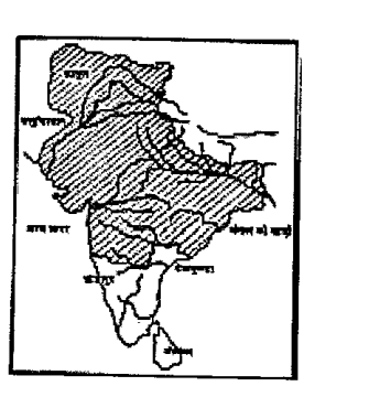 The shaded area in the above map shows the empair of :AAlauddin KhaljiBMuhammad TughluqCShah JahanDAurangazeb
 - Question 2 - Select One
The area of the shaded portion of the graph represents :
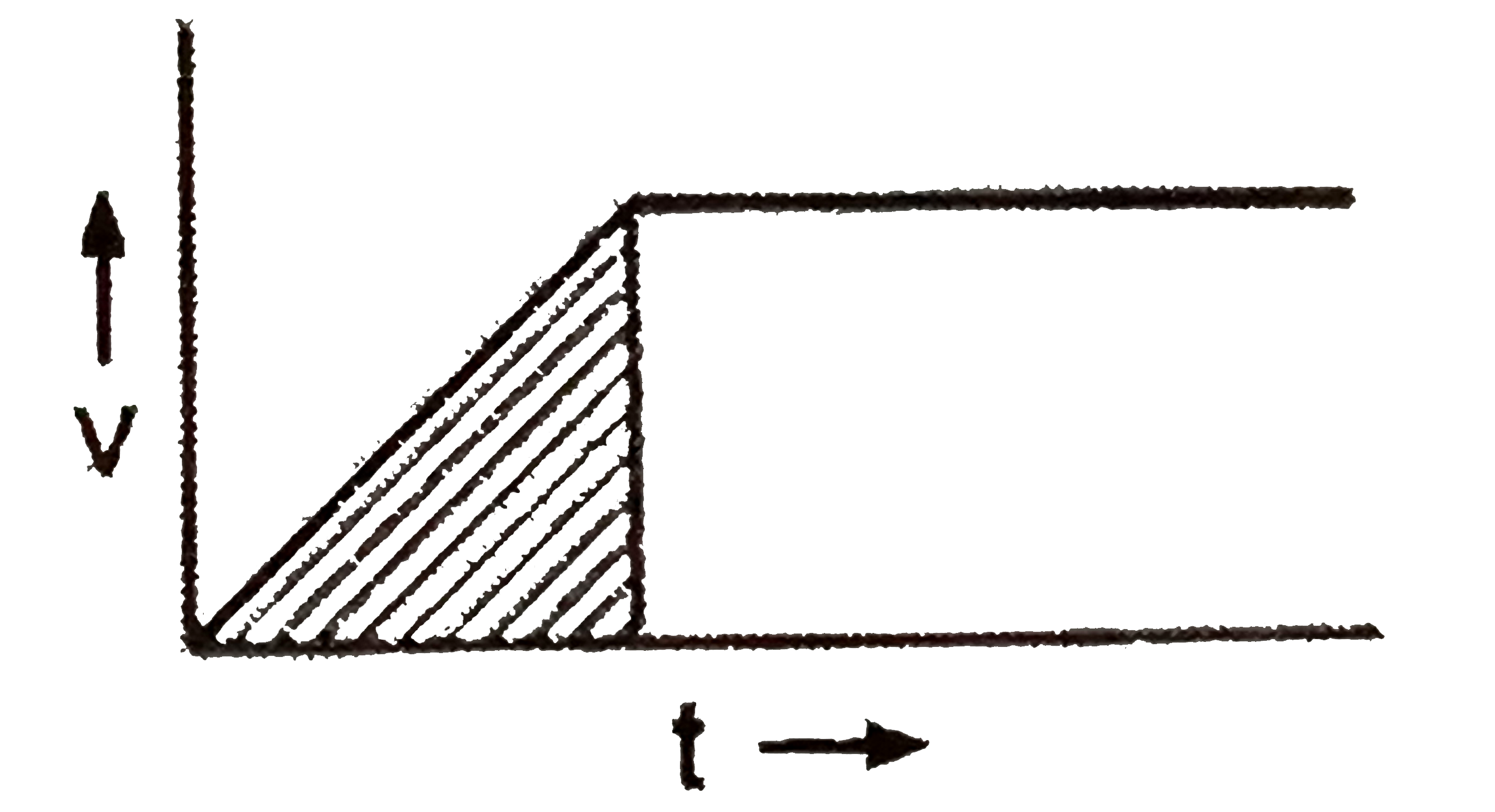 Athe average accelerationBthe maximum KECthe momentumDthe displacement
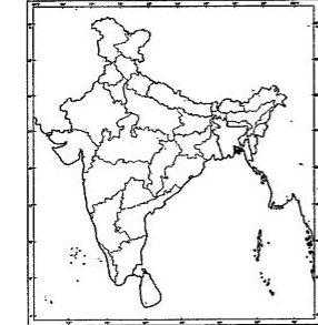
Locate and label the place on the given outline political map of India :
(a) The place associated with the Peasants' Satyagarha.
(b) The place, where the Indian National Congress Session was held in December 1920.
 View Solution
The shaded area in the map given above is the major producer of which one of the following?
 View Solution
Locate and label the place on the given outline political map of India' :
(a) The place associated with the Jallianwala bagh incident
(b) The place, where the Civil Disobedience Movement was started.
 View Solution
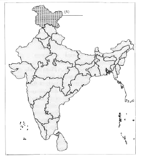
(a) One feature A is shown in the given political outline map of India. Identify this feature with the help of the following information and write its correct name on the line marked on the map: (A) A soil type
(b) On the same political outline map of India, locate and label the following features with appropriate symbols: (B) Bhakra Nangal Dam (C) A State which is the major producer of CottonView Solution(a) One item A is shown in the given political outline map of India. Identify this item with the help of following information and write its correct name on the line marked on the map.
(A) A Type of Soil
(ii) On the same political outline map of India, locate and label the following items with appropriate symbols.
(B) Sariska Wildlife Sanctuary
(C) Salal Dam
(30.3) In which State is Salal dam located?
 View Solution
Two features A and B are marked on the given political outline map of India. Identify these features with the help of the following information and write their correct names on the lines marked near them,
View Solution

